G1) When is the hurricane season for each basin?
G2) How does El Niño-Southern Oscillation affect tropical cyclone activity around the globe?
G3) How might global warming change hurricane intensity, frequency, and rainfall ?
G4) Why do tropical cyclones occur primarily in the summer and autumn?
G5) hat determines the movement of tropical cyclones?
G6) Why doesn't the South Atlantic Ocean experience tropical cyclones?
G7) How much lightning occurs in
tropical cyclones?
Contributed by Neal Dorst and Anne-Claire Fontan.
Maximum activity is in early to mid September. Once in a few years there may be a tropical cyclone occurring "out of season" - primarily in May or December.
Contributed by Chris Landsea and Anne-Claire Fontan
El Niño/Southern Oscillation (ENSO)
During El Niño events (ENSO warm phase), tropospheric vertical shear
is increased inhibiting tropical cyclone genesis and
intensification, primarily by causing the 200 mb (12 km or
8 mi) westerly winds to be stronger (Gray 1984).
La Niña events (ENSO cold phase) enhances activity. Recently, Tang and Neelin (2004) also identified that changes to the moist static stability can also contribute toward hurricane changes due to ENSO, with a drier, more stable environment present during El Nino events.
Reference:
Tang, B. H., and J. D. Neelin, 2004: ENSO Influence on
Atlantic hurricanes via tropospheric warming. Geophys. Res. Lett.:
Vol 31, L24204. "
The Australian/Southwest Pacific shows a pronounced shift back and forth of tropical cyclone activity with fewer tropical cyclones between 145° and 165°E and more from 165°E eastward across the South Pacific during El Niño (warm ENSO) events. There is also a smaller tendency to have the tropical cyclones originate a bit closer to the equator. The opposite would be true in La Niña (cold ENSO) events. See papers by Nicholls (1979),, Revell and Goulter (1986), Dong (1988), Nicholls (1992).
The western portion of the Northeast Pacific basin (140°W to the dateline) has been suggested to experience more tropical cyclone genesis during the El Niño year and more tropical cyclones tracking into the sub-region in the year following an El Niño (Schroeder and Yu 1995) , but this has not been completely documented yet.
The Northwest Pacific basin, similar to the Australian/Southwest Pacific basin, experiences a change in location of tropical cyclones without a total change in frequency. Pan, (1981), Chan (1985),, and Lander (1994) detailed that west of 160°E there were reduced numbers of tropical cyclone genesis with increased formations from 160E to the dateline during El Niño events. The opposite occurred during La Niña events. Again there is also the tendency for the tropical cyclones to also form closer to the equator during El Niño events than average.
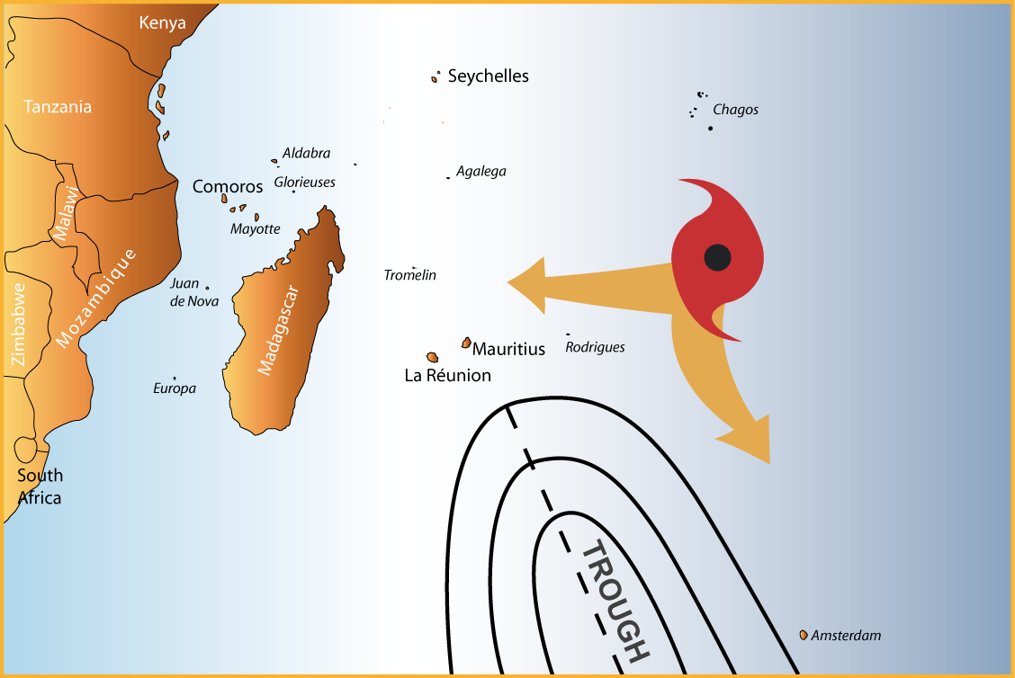
The eastern portion of the Northeast Pacific, the Southwest Indian, the Southeast Indian/Australian, and the North Indian basins have either shown little or a conflicting ENSO relationship
and/or have not been looked at yet in sufficient detail.
However for the southern part of the Indian Ocean, it seems the El Niño events are associated to increased cyclone activity on the western portion of the basin and the La Niña events on the eastern portion of the basin.
Contributed by Chris Landsea
In November 2006 the global community of tropical cyclone researchers and forecasters as met at the 6th International Workshop on Tropical Cyclones of the World Meteorological Organization in San Jose, Costa Rica. They released a statement on the links between anthropogenic (human-induced) climate change and tropical cyclones, including hurricanes and typhoons. The following is a summary of their report.
A PDF version of the official report is available
here.
Contributed by Chris Landsea
As described in Subject G1, the primary time of year for getting tropical cyclones is during the summer and autumn: July-October for the Northern Hemisphere and December-March for the Southern Hemisphere (though there are differences from basin to basin). The peak in summer/autumn is due to having all of the necessary ingredients become most fa vorable during this time of year:
While one would intuitively expect tropical cyclones to peak right at the time of maximum solar radiation (late June for the tropical Northern Hemisphere and late December for the tropical Southern Hemisphere), it takes several more weeks for the oceans to reach their warmest temperatures. The atmospheric circulation in the tropics also reaches its most pronounced (and favorable for tropical cyclones) at the same time. This time lag of the tropical ocean and atmospheric circulation is analogous to the daily cycle of surface air temperatures - they are warmest in mid-afternoon, yet the sun's incident radiation peaks at noon.
Contributed by Chris Landsea
Tropical cyclones - to a first approximation - can be thought of as being steered by the surrounding environmental flow throughout the depth of the troposphere (from the surface to about 12 km or 8 mi). Dr. Neil Frank, former director of the U.S. National Hurricane Center, used the analogy that the movement of hurricanes is like a leaf being steered by the currents in the stream, except that for a hurricane the stream has no set boundaries.
In the tropical latitudes (typically equatorward of 20°-25°N or S), tropical cyclones usually move toward the west with a slight poleward component. This is because there exists an axis of high pressure called the subtropical ridge that extends east-west poleward of the storm. On the equatorward side of the subtropical ridge, general easterly winds prevail. However, if the subtropical ridge is weak - often times due to a trough in the jet stream - the tropical cyclone may turn poleward and then recurve back toward the east. On the poleward side of the subtropical ridge, westerly winds prevail thus steering the tropical cyclone back to the east. These westerly winds are the same ones that typically bring extratropical cyclones with their cold and warm fronts from west to east.
Many times it is difficult to tell whether a trough will allow the tropical cyclone to recurve back out to sea (for those folks on the eastern edges of continents) or whether the tropical cyclone will continue straight ahead and make landfall.
For more non-technical information on the movement of tropical "Hurricanes: Their Nature and Impacts on Society". For a more detailed, technical summary on the controls on tropical cyclone motion, see Elsberry's chapter in "Global Perspectives on Tropical Cyclones".
Contributed by Chris Landsea
What never ?? Well, hardly ever.

In March, 2004 a hurricane DID form in the South Atlantic Ocean and made landfall in Brazil. But this still leaves the question of why hurricanes are so rare in the South Atlantic. Though many people might speculate that the sea surface temperatures are too cold, the primary reasons that the South Atlantic Ocean gets few tropical cyclones are that the tropospheric (near surface to 200mb) vertical wind shear is much too strong and there is typically no inter-tropical convergence zone (ITCZ) over the ocean (Gray 1968). Without an ITCZ to provide synoptic vorticity and convergence (i.e. large scale spin and thunderstorm activity) as well as having strong wind shear, it becomes very difficult to nearly impossible to have genesis of tropical cyclones.
In addition, the US OAR has documented the occurrence of a strong tropical depression/weak tropical storm that formed off the coast of Congo in mid-April 1991 (McAdie and Rappaport (1991)) . This storm lasted about five days and drifted toward the west-southwest into the central South Atlantic. So far, there has not been a systematic study as to the conditions that accompanied this rare event.
Penn State University write up on the South Atlantic hurricane.
Contributed by Chris Landsea
Surprisingly, not much lightning occurs in the inner core (within about 100 km or 60 mi) of the tropical cyclone center. Only around a dozen or less cloud-to-ground strikes per hour occur around the eyewall of the storm, in strong contrast to an overland mid-latitude mesoscale convective complex which may be observed to have lightning flash rates of greater than 1000 per hour maintained for several hours.
Hurricane Andrew's eyewall had less than 10 strikes per hour from the time it was over the Bahamas until after it made landfall along Louisiana, with several hours with no cloud-to-ground lightning at all (Molinari et al. 1994). However, lightning can be more common in the outer cores of the storms (beyond around 100 km or 60 mi) with flash rates on the order of 100s per hour.
This lack of inner core lightning is due to the relative weak nature of the eyewall thunderstorms. Because of the lack of surface heating over the ocean ocean and the "warm core" nature of the tropical cyclones, there is less buoyancy available to support the updrafts. Weaker updrafts lack the super-cooled water (e.g. water with a temperature less than 0° C or 32° F) that is crucial in charging up a thunderstorm by the interaction of ice crystals in the presence of liquid water (Black and Hallett 1986). The more common outer core lightning occurs in conjunction with the presence of convectively-active rainbands (Samsury and Orville 1994).
One of the exciting possibilities that recent lightning studies have suggested is that changes in the inner core strikes - though the number of strikes is usually quite low - may provide a useful forecast tool for intensification of tropical cyclones. Black (1975) suggested that bursts of inner core convection which are accompanied by increases in electrical activity may indicate that the tropical cyclone will soon commence a deepening in intensity. Analyses of Hurricanes Diana (1984), Florence (1988) and Andrew (1992), as well as an unnamed tropical storm in 1987 indicate that this is often true (Lyons and Keen 1994 and Molinari et al. 1994).